
Timor-Leste: comprehensive mapping of climate and geo-risks
What can a rather small island state with 1.3 million inhabitants do to address climate-driven disasters? Timor Leste is a country located in a region particularly sensitive to the impact of climate change and the effects of El Niño. Disasters caused by climate are common and we have helped the government prepare a comprehensive map of them.
Since gaining its independence in 2002, Timor-Leste acknowledged the threat that climate change poses. The country ratified the United Nations Framework Convention on Climate Change (UNFCCC) in 2006 and the Kyoto Protocol in 2008. However, a great amount of effort is still needed to safeguard livelihoods, assets and ecosystems from the effects of flood, drought, extreme heat, strong winds, including hurricanes, mass movement and wildfires. In addition, Timor-Leste is also exposed to seismic risk, so earthquakes are also a disaster that can potentially happen. Pretty much the bare existence of the population of Timor Leste is at stake.
Timor–Leste faces numerous challenges related to climate change. Changes in rainfall pattern and increasing rainfall are expected to impact agricultural productivity and water availability, increase the risk of landslide, make the soil more susceptible to erosion, in addition to increasing the frequency and intensity of local flooding.
Sea-level rise will increase coastal erosion and might cause the degradation and destruction of infrastructure as well as the salinization of water sources.
The country is also facing a higher frequency of extreme climate events such as strong tropical windstorms, landslides, flash floods.
Some risks are caused by geo-hazards. Others are clearly climate-induced hazards and can happen alongside other natural hazard events, such as earthquakes and tsunamis, which also affect Timor-Leste, making it a highly vulnerable country.
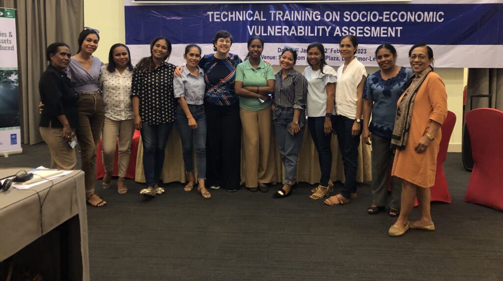
Timor-Leste is advancing towards the objective of safeguarding key infrastructure and people’s livelihoods, as well as critical ecosystems. One of the ongoing initiatives in country is the Green Climate Fund (GCF) project titled “Safeguarding rural communities and their physical and economic assets from climate induced disasters in Timor-Leste”.
In connection with this project, the Joint Venture composed of EBD Global Optimum, Antea Belgium and HIVOS was engaged by UNDP to conduct a country-wide multi-hazard vulnerability and adaptation assessment. Using satellite data and modelling combined with field-level survey and assessment, we produced a comprehensive tool that will provide the decision-makers in country with information on vulnerability and adaptation options accessible to all interested parties. The tool is suitable for future updates with new data.
Proper information on vulnerability to climatic hazards and possible adaptation options is important to ensuring that the humanity will be able to thrive in the ever-changing future world